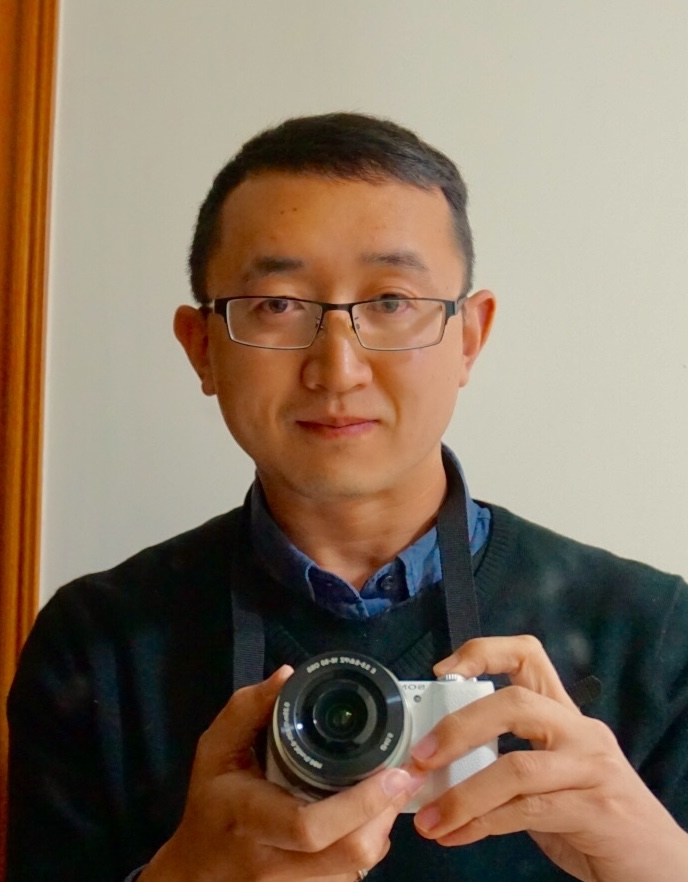
Photo of Cthulu

Shanxin Guo 郭善昕

博士,副研究员,硕士生导师
Ph.D. , Associate professor
中国科学院深圳先进技术研究院 数字所 空间信息研究中心
Shenzhen Institutes of Advanced Technology (SIAT), Chinese Academy of Sciences,
Shenzhen, Guangdong, P.R. China
Email: sx.guo@siat.ac.cn

Research Interest

  • Satellite image data based deep learning.
  • Spatial temporal satellite image fusion and analysis.
  • Statistic learning, Geostatistic, Machine learning, Gaussian process
  • Remote sensing technology based digital mapping.
  • Jobs available

    Prof. Guo is recruiting for Student/Visiting student now. If you are from remote sensing, geography and computer science background, welcome to join my team.
    Requirements:
  • Students who is working on Master degree in Computer Science or remote sensing, in particular those with good mathematics, algorithm or programming background.
  • Work or study in the area of deep learning, remote sensing and imagery processing.
  • If you are interested, please contact via email sx.guo@siat.ac.cn

    Education

    Wuhan University Ph.D. - 2009-2015

    Department: School of Remote Sensing and Information Engineering
    Major: Photogrammetry and Remote Sensing
    Ph.D. Thesis:Digital Soil Mapping over low relief area based on remote sensing soil feedback dynamic pattern.
    Advisor:Lingkui Meng & A-Xing Zhu

    University of Wisconsin Madison Visiting Ph.D. - 2013-2015

    Department: Department of Geography
    Advisor: A-Xing Zhu

    Wuhan University B.S. 2005-2009

    Department: School of Remote Sensing and Information Engineering
    Major: Remote sensing science and technology

    Current Projects

    Spatial-temporal remote sensing image fusion

    This project focus on the mismatch problem of the multi-scale satellite images. Designing a suitable method to fusion imagery from a different platform to provide higher spatial and temporal resolution images/productions. Typical fusion cases are including the MODIS and Landsat sensor fusion, such as the surface reflectance fusion, the Land surface temperature fusion, and the ocean surface chlorophyll-ab.

    Deep learning system for remote sensing

    The deep learning model achieved enormous success in both computer vision and remote sensing fields. In this project, three fundamental problems we focus on: Firstly, the model generalization capability cross different sensors, different time, and locations. Secondly, the higher performance for the divergence of the landcover spectrum, and thirdly the anti-noise capability of the model.

    Digital soil/forest mapping based on satellite

    Digital environment mapping is a useful technology based on field samples and environmental factors. In this project, we focus on how to form the suitable feature space based on the remote sensing data to help the local field samples for better extrapolation and interpolation.

    Career

    Shenzhen Institute of Advanced Technology (SIAT)

    • Associate Professor
    • 2021-present

    Shenzhen Institute of Advanced Technology (SIAT)

    • Assistant Professor
    • 2016-2021
    Academic appointments and fellowships
    REVIEWER of International Journal of Applied Earth Observation and Geoinformation.2018-Now

    ORGANIZER of SIAT Geo-Spatial Information Think Tank Talk Group.2018-Now

    PROJECT ASSISTANT. The National Key Research and Development Program of China (Project No. 2017YFB0504203). 2018.12-2021.06.

    PROJECT LEADER. Natural science foundation of China project: Key studies of applying soil feedback dynamic pattern to digital soil mapping in flat area (41601212).2017.01-2019.12.

    PROJECT LEADER.Fundamental Research Foundation of Shenzhen Technology and Innovation Council (JCYJ20160429191127529) .2016.07-2019.12.

    PPROJECT ASSISTANT. Remote sensing hydrology application research and data processing, funding by the Ministry of Water Resources of P.R China. 2010.7-2013.2

    PROJECT LEADER. Watershed hydrological modeling and risk management in regional area to alert flood disaster funding by the Ministry of Civil Affairs of P.R. China. 2011.5 – 2011.12

    Publication
    Guo, S#., Li, M., Li, Y., Chen, J., Zhang, H. K., Sun, L., Wang, J., Wang, R., & Yang, Y. (2024). The Improved U-STFM : A Deep Learning-Based Nonlinear Spatial-Temporal Fusion Model for Land Surface Temperature Downscaling. Remote Sensing, 16(322), 1–28.

    Li, M., Guo, S#., Chen, J., Chang, Y., Sun, L., Zhao, L., Li, X., & Yao, H. (2023). Stability Analysis of Unmixing ‐ Based Spatiotemporal Fusion Model : A Case of Land Surface Temperature Product Downscaling. Remote Sensing, 15(901), 1–18.

    Wu, B., Shen, Y., Guo, S#, Chen, J., Sun, L., & Li, H. (2022). High Quality Object Detection for Multiresolution Remote Sensing Imagery Using Cascaded Multi-Stage Detectors. Remote Sensing, 14(2091), 1–18.

    Zheng, X., Jia, J., Chen, J., Guo, S., Sun, L., Zhou, C., & Wang, Y. (2022). Hyperspectral Image Classification with Imbalanced Data Based on Semi-Supervised Learning. Applied Sciences, 12(3943), 1–19.

    Jia, J., Chen, J., Zheng, X., Wang, Y., Guo, S., Sun, H., Jiang, C., Karjalainen, M., Karila, K., Duan, Z., Wang, T., Xu, C., Hyyppa, J., & Chen, Y. (2021). Tradeoffs in the Spatial and Spectral Resolution of Airborne Hyperspectral Imaging Systems: A Crop Identification Case Study. IEEE Transactions on Geoscience and Remote Sensing, 1–18.

    Lin, C., Guo, S*., Chen, J., Sun, L., Zheng, X., Yang, Y., & Xiong, Y. (2021). Deep Learning Network Intensification for Preventing Noisy-Labeled Samples for Remote Sensing Classification. Remote Sensing, 13(1689), 1–19.

    Zhang, G., Zhu, A.-X., Liu, J., Guo, S., & Zhu, Y. (2021). PyCLiPSM: Harnessing heterogeneous computing resources on CPUs and GPUs for accelerated digital soil mapping. Transactions in GIS, 00, 1–23.

    Zheng, X., Jia, J., Guo, S*., Chen, J., 2021. Full parameter time complexity (FPTC): A method to evaluate the running time of machine learning classifiers for land use/land cover classification. IEEE J. Sel. Top. Appl. Earth Obs. Remote Sens. 1–15.

    Xu, W., Deng, X., Guo, S+., Chen, J*., Sun, L., Zheng, X., Xiong, Y., Shen, Y., Wang, X., 2020. High-Resolution U-Net: Preserving Image Details for Extraction Cultivated Land. Sensors 20, 4064. (+:contributed equally as the first author)

    Xiong, Y., Guo, S., Chen, J*., Deng, X., Sun, L., 2020. Improved SRGAN for Remote Sensing Image Super-Resolution Across Locations and Sensors. Remote Sensing. 12, 1–22. doi:10.3390/rs12081263

    Sun, L., Chen, J.*, Guo, S., Deng, X., Han, Y., 2020. Integration of Time Series Sentinel-1 and Sentinel-2 Imagery for Crop Type Mapping over Oasis Agricultural Areas. Remote Sensing. 12, 1–27.

    Li, X., Chen, J.*, Zhao, L., Guo, S., Sun, L., Zhao, X., 2020. Adaptive Distance-Weighted Voronoi Tessellation for Remote Sensing Image Segmentation. Remote Sens. 12.

    Deng, X., Guo, S., Sun, L., Chen, J.*, 2020. Identification of Short-Rotation Eucalyptus Plantation at Large Scale Using Multi-Satellite Imageries and Cloud Computing Platform. Remote Sens.

    Jia, J., Zheng, X., Guo, S., Wang, Y., Chen, J., 2020. Removing Stripe Noise Based on Improved Statistics for Hyperspectral Images. IEEE Geosci. Remote Sens. Lett. 1–5.

    Guo, S., Sun, B., Zhang, H. K., Liu, J., Chen, J., Wang, J., … Yang, Y. 2018. MODIS ocean color product downscaling via Spatio-temporal fusion and regression: The case of chlorophyll-a in coastal waters[J]. International Journal of Applied Earth Observation and Geoinformation, 73(June), 340–361.

    Guo, S., Zhu, A.-X., Meng, L., Burt, J., Du, F., Liu, J., & Zhang, G. 2016. Unification of soil feedback patterns under different evaporation conditions to improve soil differentiation over the flat area[J]. International Journal of Applied Earth Observation and Geoinformation, 49, 126–137.

    Guo, S., Meng, L., Zhu, A.-X., Burt, J., Du, F., Liu, J., & Zhang, G. 2015. Data-Gap Filling to Understand the Dynamic Feedback Pattern of Soil[J]. Remote Sensing, 7(9), 11801–11820.

    Guo, S., Meng Lingkui, Yu Wanli. “The Extended Route Service Based On Dynamic Update Frame: From Design to Deployment”. Joint International Conference on Theory, Data Handling and Modelling in GeoSpatial Information Science. 26-28th May 2010, Hong Kong.

    Updated on Feb 01, 2024